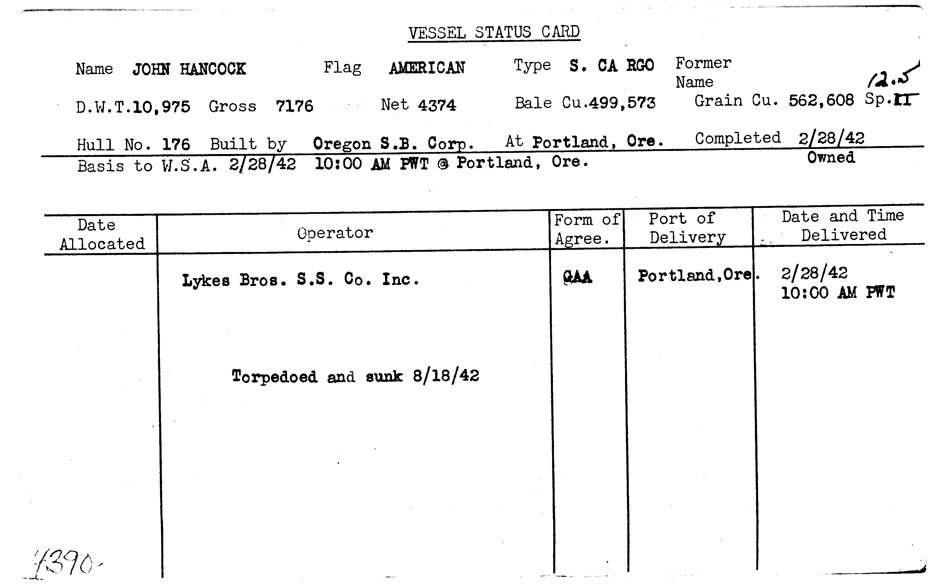
JOHN HANCOCK

Year Built
1942
Official Number
--
Shipyard
Oregon Shipbuilding Company
General Type
General Cargo
Specific Type
Break Bulk
MARAD Type
--
Ship Length
441.00 feet
Beam
57.00 feet
Mast Height
--
Net Tons
4374.00 tons
Gross Tons
7176.00 tons
Cargo Capacity
499573.00 square feet
Draft, Summer
--
Draft, Lightweight
--
Displacement, Summer
--
Displacement, Lightweight
--
Immersion, Summer
--
Immersion, Lightweight
--
Fate
Sunk - Torpedo
Historical Narrative
This Liberty ship was named for John Hancock (1736-1793). John Hancock was a Founding Father of the United States, merchant, politician, soldier, and patriot. Hancock was a Massachusetts delegate to the Continental Congress and was as the President of the Second Continental Congress from 1775-1777. Hancock served Governor of Massachusetts from 1780-1785, and again from 1787-1793. Hancock is also remembered for his prominent signature on the Declaration of Independence.
MARAD has no written
history for the Liberty ship John Hancock at
this time.
Vessel Name History
Mission
No Mission for this vessel
Historical Documents
| Name | Download |
|---|---|
| SYSTEM UPLOAD |
|
| SYSTEM UPLOAD |
|
Milestones
| No events for this vessel |
|---|
Ship Imagery
No images for this vessel
Status Cards
Documents
| Date | Type | Name | Download | |
|---|---|---|---|---|
| (No Date) | JOHN HANCOCK.pdf |
|
||
| (No Date) | Historical | SYSTEM UPLOAD |
|
|
| (No Date) | Historical | SYSTEM UPLOAD |
|
Plans
No documents for this vessel
Shipwreck Information
Vessel Information
Owner
U.S. Maritime Commission
Operator
Lykes Brothers Steamship Company
Operator Agreement
General Agent Agreement
Flag State
United States
Incident Information
Incident Date
August 18, 1942
Use at Loss
Cargo Transportation
Cause
Sunk - Torpedo
Cause Comments
Torpedoed by German submarine U-553 while en route from Canal Zone, Panama, to Philadelphia, Pennsylvania, as part of Convoy TAW-13.
Conflict
World War II
Location of Incident
Caribbean Sea
Accuracy of Incident Location
Historic 1
Lat/Long
19° 27' N., 76° 48' W.
Incident Location Comments
Approximately 95 miles west of Guantanamo Bay, Cuba
Lives Lost
0

