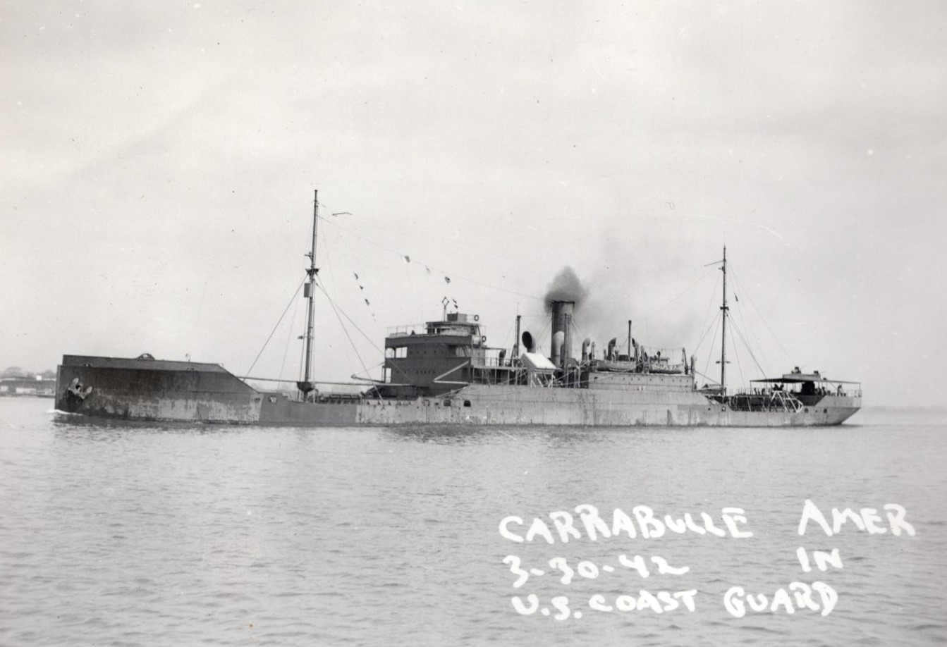
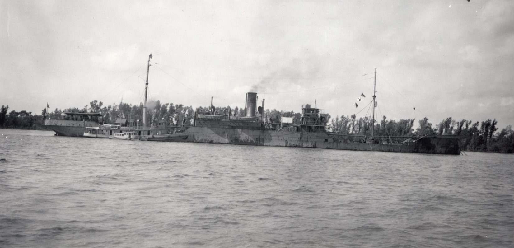
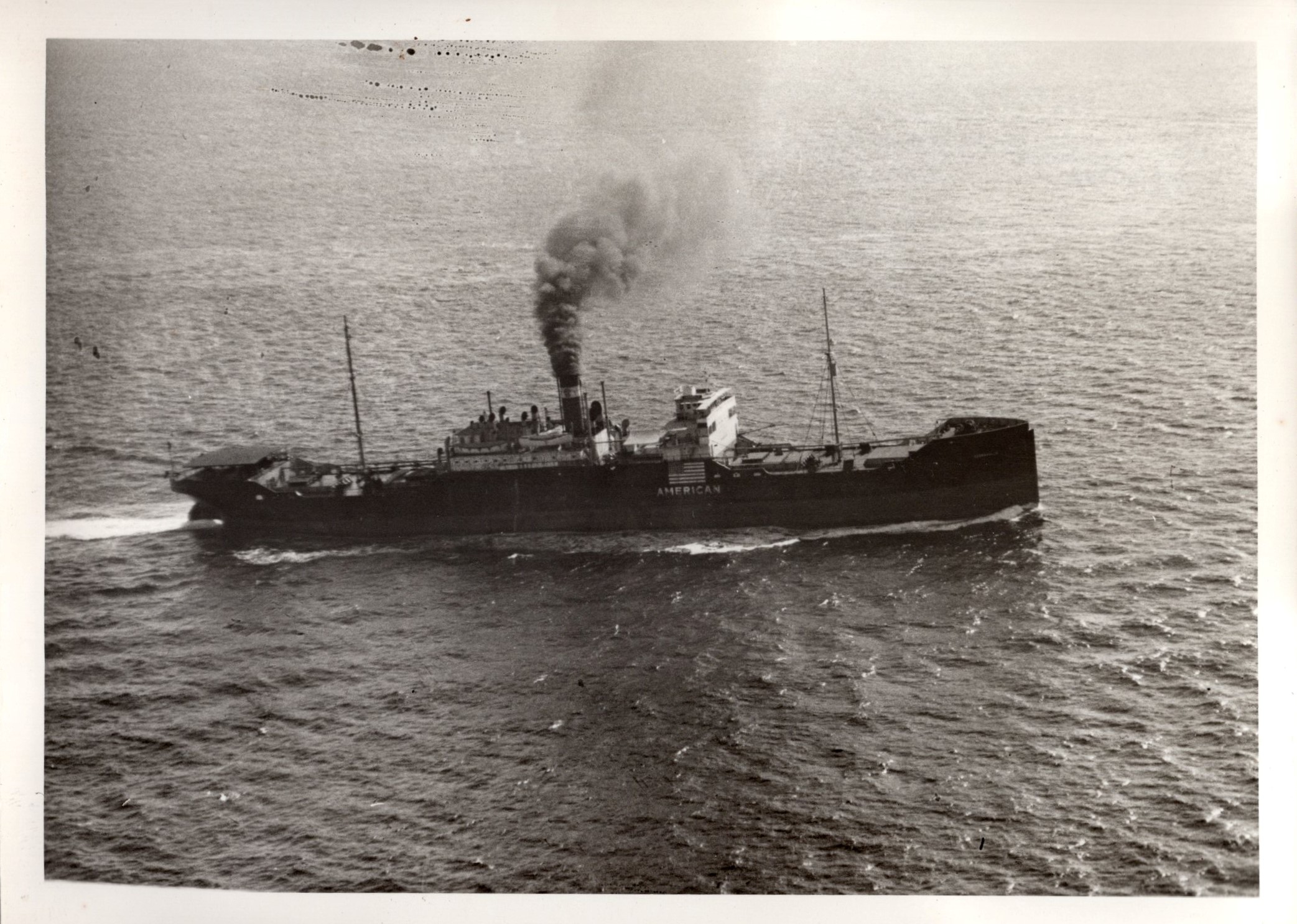
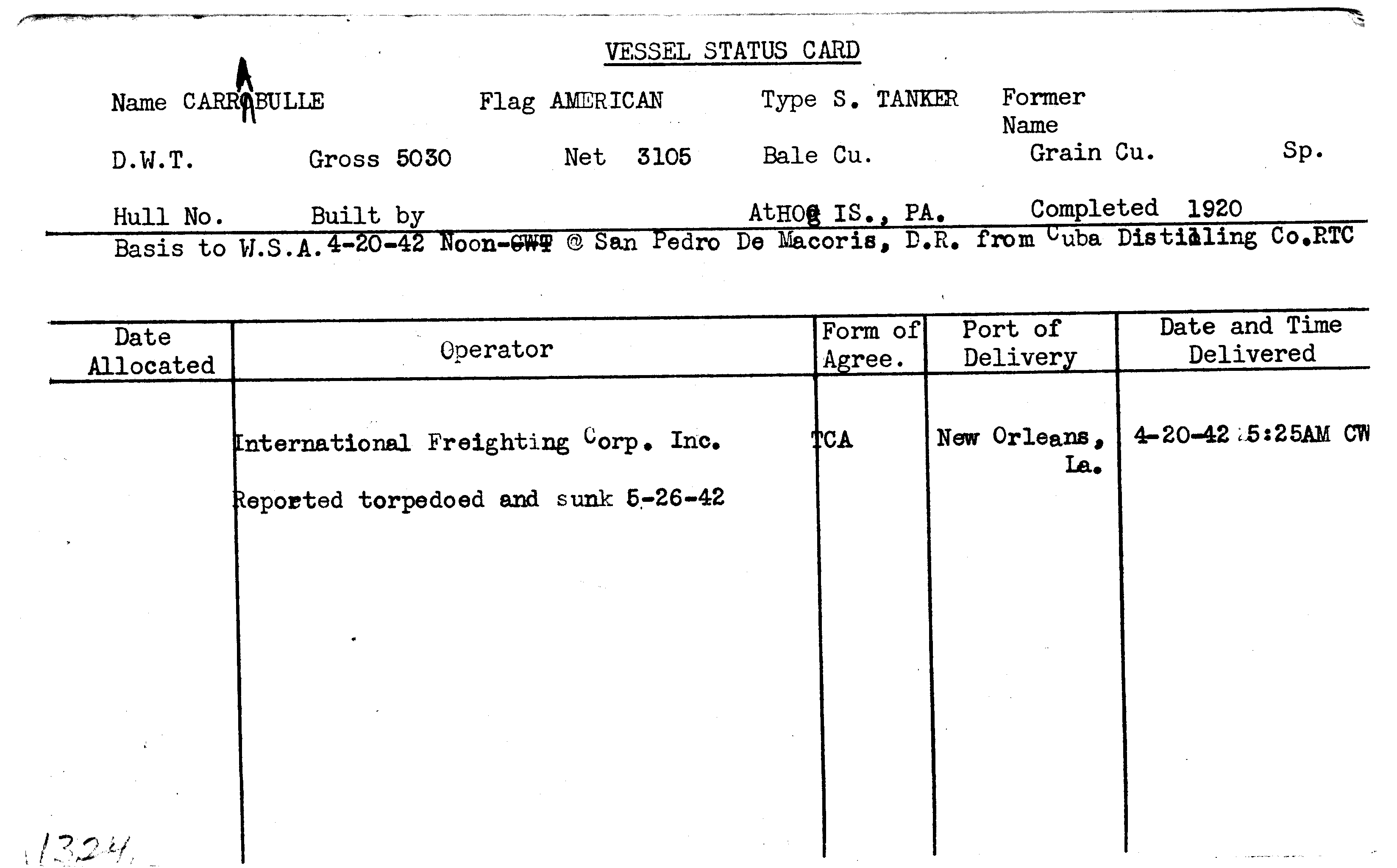
CARRABULLE
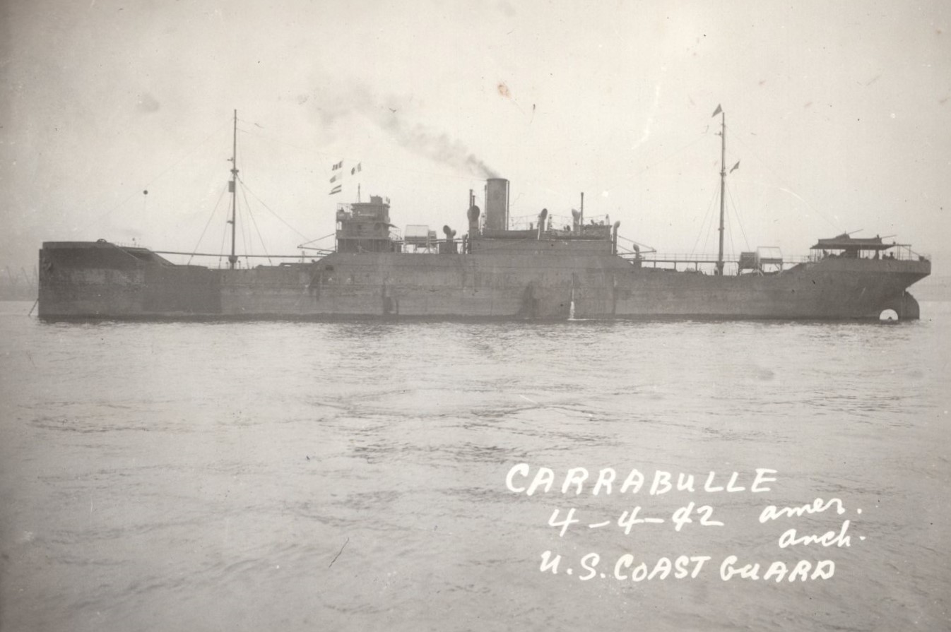
Carrabulle on April 4, 1942. Location unknown. United States Coast Guard photo.
Year Built
1920
Official Number
220597
Shipyard
American International Shipbuilding Co.
General Type
General Cargo
Specific Type
Break Bulk
MARAD Type
USSB 1022
Ship Length
390.00 feet
Beam
54.00 feet
Mast Height
--
Net Tons
3105.00 tons
Gross Tons
5030.00 tons
Cargo Capacity
--
Draft, Summer
--
Draft, Lightweight
--
Displacement, Summer
--
Displacement, Lightweight
--
Immersion, Summer
--
Immersion, Lightweight
--
Fate
Sunk - Torpedo
Historical Narrative
There is no historical narrative for this vessel at this time.
Vessel Name History
Mission
| Mission Name |
|---|
| World War II |
Historical Documents
| Name | Download |
|---|---|
| SYSTEM UPLOAD |
|
| SYSTEM UPLOAD |
|
| SYSTEM UPLOAD |
|
| SYSTEM UPLOAD |
|
| SYSTEM UPLOAD |
|
| SYSTEM UPLOAD |
|
Milestones
| No events for this vessel |
|---|
Ship Imagery
Status Cards
Documents
| Date | Type | Name | Download | |
|---|---|---|---|---|
| (No Date) | CARRABULLE.pdf |
|
||
| (No Date) | Historical | SYSTEM UPLOAD |
|
|
| (No Date) | Historical | SYSTEM UPLOAD |
|
|
| (No Date) | Historical | SYSTEM UPLOAD |
|
|
| (No Date) | Historical | SYSTEM UPLOAD |
|
|
| (No Date) | Historical | SYSTEM UPLOAD |
|
|
| (No Date) | Historical | SYSTEM UPLOAD |
|
Plans
No documents for this vessel
Shipwreck Information
Vessel Information
Owner
Cuba Distilling Company
Operator
International Freighting Corporation
Operator Agreement
Time Charter Agreement
Flag State
United States
Incident Information
Incident Date
May 26, 1942
Use at Loss
Cargo Transportation
Cause
Sunk - Torpedo
Cause Comments
Torpedoed and shelled by German submarine U-106 while en route from Good Hope, Louisiana, to San Juan, Puerto Rico.
Conflict
World War II
Location of Incident
Gulf of Mexico
Accuracy of Incident Location
Historic 2
Lat/Long
26° 18' N. / 89° 21' W.
Incident Location Comments
Gulf of Mexico
Lives Lost
--

