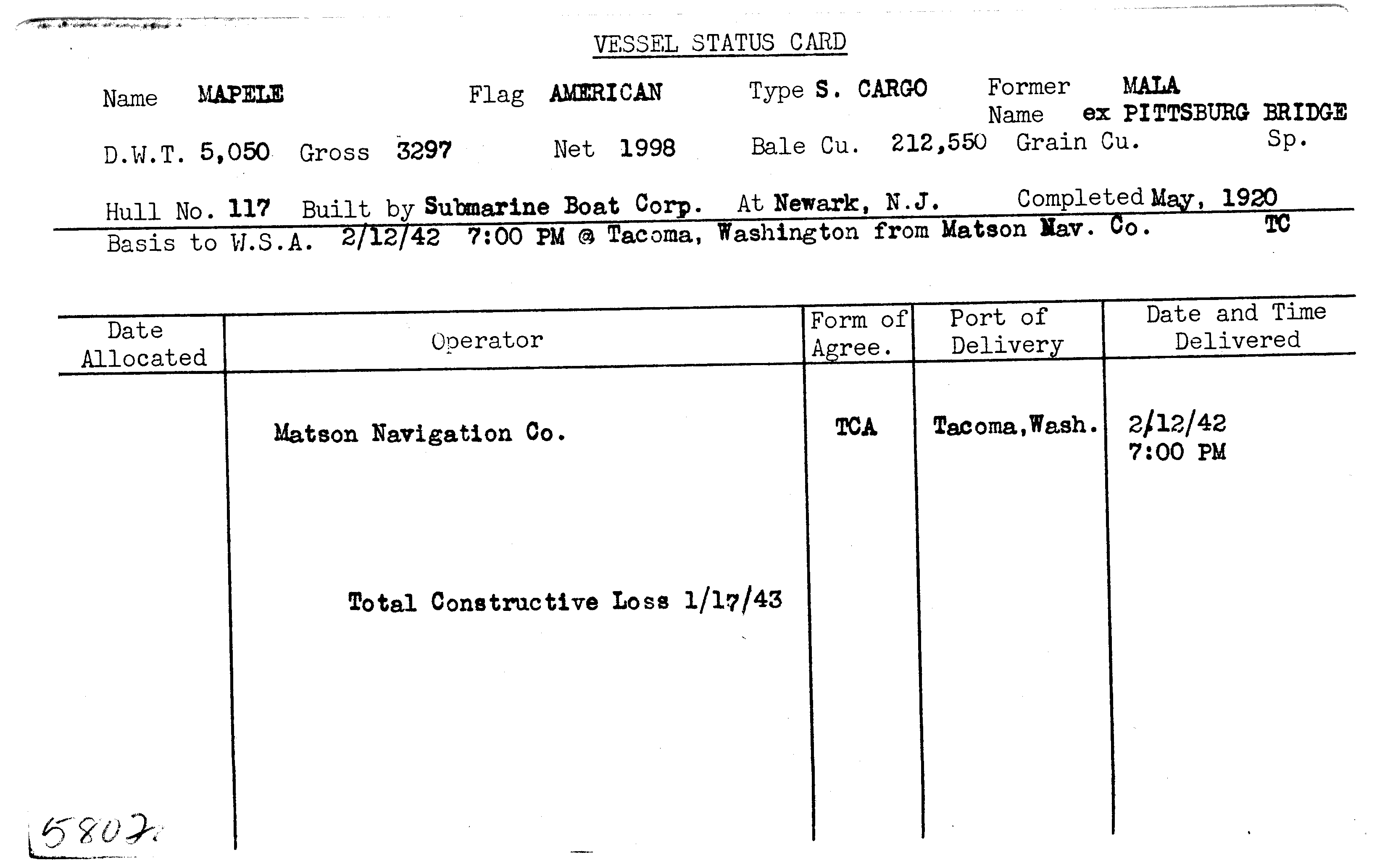
MAPELE

Year Built
1920
Official Number
--
Shipyard
Submarine Boat Corporation
General Type
General Cargo
Specific Type
Break Bulk
MARAD Type
--
Ship Length
--
Beam
--
Mast Height
--
Net Tons
1998.00 tons
Gross Tons
3297.00 tons
Cargo Capacity
212550.00 square feet
Draft, Summer
--
Draft, Lightweight
--
Displacement, Summer
--
Displacement, Lightweight
--
Immersion, Summer
--
Immersion, Lightweight
--
Fate
Sunk - No Further Info
Historical Narrative
There is no historical narrative for this vessel at this time.
Vessel Name History
Milestones
| No events for this vessel |
|---|
Ship Imagery
No images for this vessel
Status Cards

Documents
Plans
No documents for this vessel
Shipwreck Information
Vessel Information
Owner
--
Operator
Matson Navigation Company
Operator Agreement
--
Flag State
United States
Incident Information
Incident Date
January 17, 1943
Use at Loss
Cargo Transportation
Cause
Sunk - No Further Info
Cause Comments
Stranded on Cape Divine, Alaska during a gale and snowstorm while en route from Kodiak, Alaska to Sandpoint, Alaska.
Conflict
World War II
Location of Incident
Pacific Ocean
Accuracy of Incident Location
Historic 2
Lat/Long
55° 25' N., 160° 12' W.
Incident Location Comments
--
Lives Lost
2


